SAVE TO
Save data to a file, database, or GIS graphic after downloading from the GPS. Except for GPX or KML files, saves data only from the active tab (waypoints, tracks, or routes) in the data table. For tracks or routes, will prompt for the shape type (point, line, or polygon).
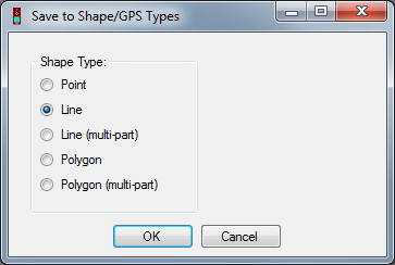
Note: Multi-shape options retain the shape characteristics of tracks.
File
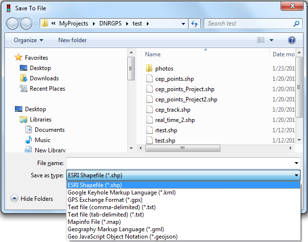
Identify the file type to save to (supported FILE TYPES) and navigate to a location.
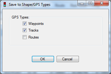
For file types that support multiple GPS data types being stored together, you will see the following prompt:
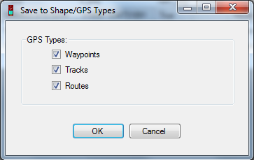
For file types that do not support multiple data types, it will save data from the active table.
Database
Save to an existing database connection by selecting a database under Database Name, and all the existing layers appear in Layers.
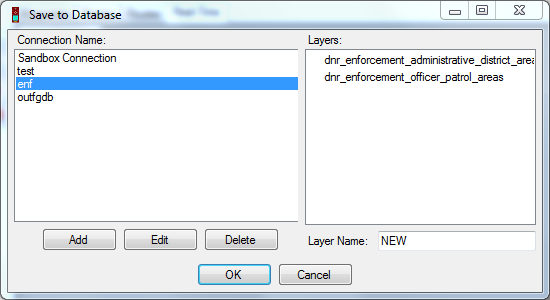
Edit or delete an existing connection, or add a new connection using the buttons below the Database Names.
PostgreSQL for PostGIS - Set up a connection to a PostgreSQL database and select/specify target layer.
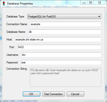
Note: There are 2 types of shapes that can be saved in a Postgres Database: Esri and Open Source. DNRGPS saves and reads the open source shapes.
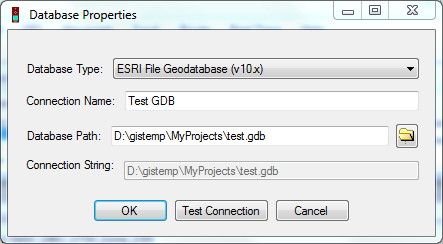
ESRI File Geodatabase (v10.x) - Navigate to an ESRI File Geodatabase and select/specify target feature class.
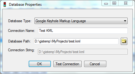
Google Keyhole Markup Language - To add to an existing KML file, navigate to it and select/specify target layer.
Web Service
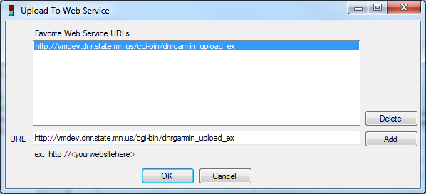
This will upload a GPX file to the URL specified. This requires that the user already have a script set up on their web server to handle this post request.
Select a URL from the list of Favorites (To add to the favorites list type a valid URL into the URL textbox and click ‘Add’). Then click OK.
Specify the GPS data types you’d like to save.
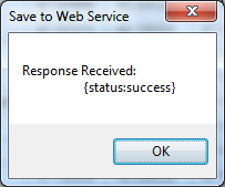
A temporary GPX file is created and then posted to the specified URL. A message box is displayed upon completion.
For Developers: This function uses the .NET WebClient object to perform a POST of the GPX file based on the sample code displayed here: http://msdn.microsoft.com/en-us/library/aa329790%28v=vs.71%29.aspx
What you do with the file on the back end is up to you. Here is a very basic Ruby script for reacting to a file post: Example Ruby Script
ArcMap
Only works if ArcMap 10.x is open.
File - Saves data as a file and adds as a layer to the active data frame
Database - Saves data to an EXISTING database.
Graphics - Saves data as projected graphics. Requires that a projection be set on the dataframe.
Google Earth
Not yet implemented!
Only works if Google Earth is installed (doesn’t need to be open).
My Places - Saves to Google Earth’s My Places folder. If saving tracks or routes you are prompted to identify the type of data to save (Point, Line, Polygon).
See Also